Product Description
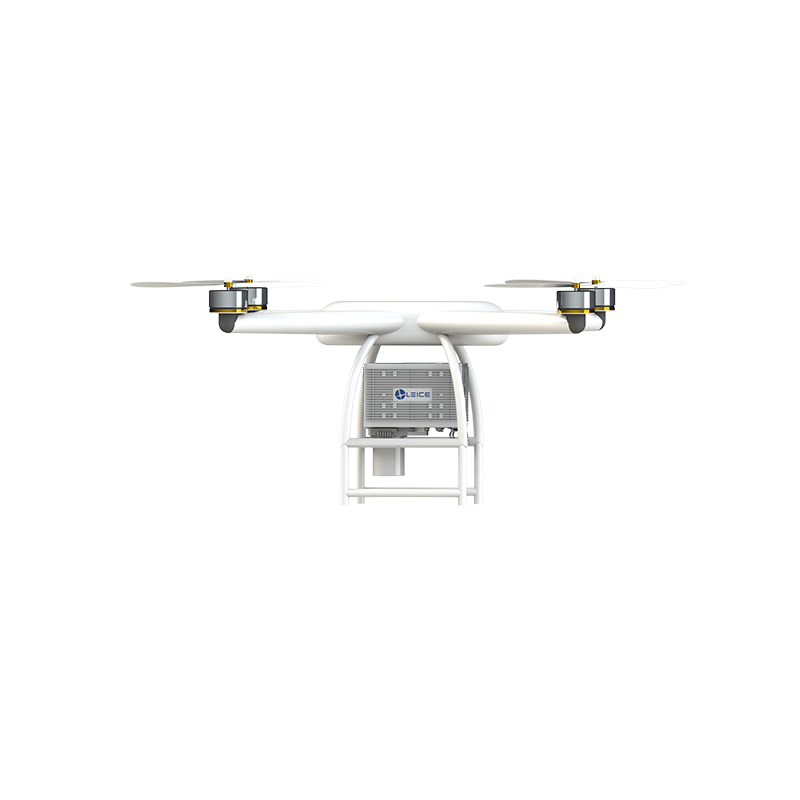
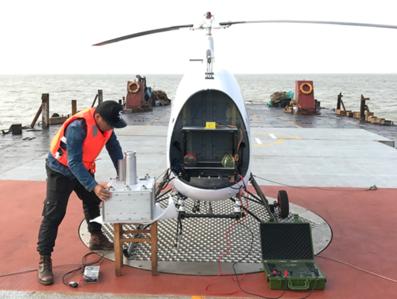
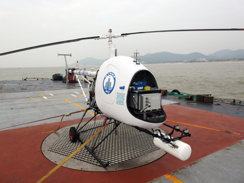
Unmanned aerial vehicle (UAV) airborne wind lidar is a pulse coherent wind lidar used on unmanned aerial platforms, characterized by miniaturization, low power consumption, and high accuracy. Designed and manufactured entirely based on the requirements of the IEC 61400-12-1:2017 standard. The compact and lightweight structural design has a smaller volume, lighter weight, and stronger adaptability to working environments.The unmanned aerial vehicle (UAV) airborne wind measurement LiDAR is flexible and convenient to mount, suitable for various carriers, and can break through terrain limitations. It can detect wind conditions in plains, mountainous areas, oceans and other terrains in a short period of time, and is suitable for environmental monitoring, fire detection and other fields.
Functional features and advantages
Large range detection: Starting from 30m, the detection distance from top to bottom can reach 1500m
Compatible with mobile platforms: can be carried by drones on board or in vehicles, breaking through terrain limitations
Data product combined with GIS display: Observation data is displayed in combination with GIS system, resulting in rich and real-time display of data products
High precision detection: Wind cup level wind measurement accuracy (<0.1m/s)
Compact and lightweight: The structural design is compact and lightweight. Smaller volume, lighter weight, and stronger adaptability to working environments.
1. High integration structure
2. Lightweight magnesium aluminum alloy
3. External shock absorber module
Passive heat dissipation: The radar body has no external openings and adopts passive heat dissipation with external fin patches, achieving better integration of the entire machine
Low power consumption: The overall power consumption is less than 80W
System self correction: Real time correction of observation data
Eye safety: Class 1Mof IEC 60825-1 standard
Strong robustness: can achieve continuous and stable work in harsh working environments such as high altitudes, deserts, and high altitudes
Unattended: Remote networked data acquisition and device monitoring